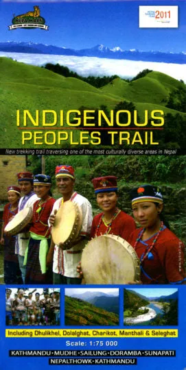
The Indigenous People Trail map at 1:75,000 highlighting a trekking circuit in the less visited part of Nepal directly east of Kathmandu. The map is part of the Nepa Maps series which provides extensive coverage of trekking areas of Nepal on detailed contoured maps with trekking routes and hiking trails, huts and camp sites, local places of interest and other tourist information.
The map covers an area directly east of Kathmandu, with Dhulikhel and Khopasi at its western edge and Charikot in the north-eastern corner. Numerous trails are marked, with the main highlighted route crossing the area east of the Sunkashi River. Contours are at 80m intervals, with additional vegetation colouring. Margin ticks show latitude and longitude at intervals of 5'. The map is indexed and includes additional information on various stages of the main trek and other activities in this area.
Titles in this series have cartography is based on the country’s topographic survey, with contours usually at 40m or 50m intervals, enhanced by relief shading, colouring and graphics to show various features of the terrain, including glaciers, forested or cultivated areas, etc. Numerous peaks, with additional spot heights, plus names of glaciers and mountain ranges are prominently shown. The network of rivers, streams and lakes is shown in great detail, with many smaller rivers and lakes named.
Publisert år: 2011
Innbinding: falset
Material: papir
Målestokk: 1:75000

 Cart(
Cart(